Solutions Program
The Civil UAVs Initiative’s solutions program includes different projects that use unmanned vehicles to address a set of technological challenges, identified by the Xunta de Galicia, with the aim of delivering better public services and improving the quality of life of citizens.
It involves ten Public Procurement of Innovative Technology (PPIT) tenders that, in a period of two years, intend to develop products and services which already have a certain degree of technological maturity.
The solutions program has the following funding: European Regional Development Fund (FEDER), Pluriregional Operational Program of Spain 2014-2020 (POPE). A way of doing Europe.
- Priority Axis/Thematic Objective 01: Strengthening research, technological development and innovation.
- Specific Objective 1.2.1: Boosting and promoting business-led R&I activities, supporting the creation and consolidation of innovative companies and supporting Public Procurement of Innovation (PPI).
- Action: Line for Promotion of Innovation from the Demand for Public Procurement of Innovation (FID). Collaboration agreement between the Ministry of Economy and Competitiveness, the Galician Innovation Agency and the Agency for the Technological Modernization of Galicia for the project “Civil UAVs Initiative” (18/07/2016).
- Purpose of the agreement: the purpose of this agreement is to establish the collaboration between the parties to contribute to the improvement of public services, through the promotion of business innovation, by selecting the “Civil UAVs Initiative” for co-financing by the FEDER 2014-2020.
- Total amount: the total amount of the “Civil UAVs Initiative” project is 24,000,000 €. Of this amount, 80% (19,200,000 €) is financed with FEDER 2014-2020 funds and the remaining 20% (4,800,000 €) is the national contribution through the Xunta de Galicia.
PPI tenders that are developed within the framework of the agreement:


U.T.E. Ingeniería Insitu S.L. – Cartogalicia S.L. – Soluciones y proyectos de información S.L. (Sixtema).

Instituto de Estudios del Territorio (IET)

418.455 €.

Consellería de Medio Ambiente, Territorio y Vivienda.

The solution developed will include improved and novel functionalities for currently used systems that, among others, will permit the generalisation of cartography, format transformation, conversion to data models, edition of LiDAR point clouds, production of digital terrain models and storage in databases.
U.T.E. Ceres Gestión Sectorial, Services Research & Maping Consulting y Eptisa Tecnología de la información.
Instituto de Estudios del Territorio (IET)
1.397.997 €
Consellería de Medio Ambiente, Territorio y Vivienda.
This application must be able to integrate different types of data sources and process them to produce land use databases, i.e. it must provide cartographic technicians the use of a set of applications to automate data capture and information analysis.

U.T.E. Aeromedia, Altia Consultores y Centro de Observación y Teledetección Espacial (Cotesa).

Universidad de Santiago de Compostela (Citius) y Universidad de A Coruña (Citic)

Consellería de Medio Ambiente, Territorio y Vivienda.

1.245.945 €

Instituto de Estudios del Territorio (IET).

U.T.E. Centro Tecnológico, Forestal y de la Madera (CETEMAS), Centro de Observación y Teledetección Espacial (COTESA), 3edata y Universidad de Santiago de Compostela -Multiespectral.
Dirección General de Defensa del Monte y Dirección General de Planificación y Ordenación Forestal.
1.092.095 €
Consellería del Medio Rural.
U.T.E. Imatia Innovación, Cartogalicia e Industrias Ferri.
Scio Soft, Fundación Instituto Tecnológico de Galicia (ITG) Fiber Laminates y Arteixo Telecom.
Consellería del Mar.
1.486.337 €
Dirección General de Pesca, Acuicultura e Innovación Tecnológica, Centro Tecnológico del Mar (CETMAR) y Subdirección General de Guardacostas de Galicia.
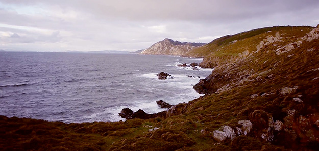
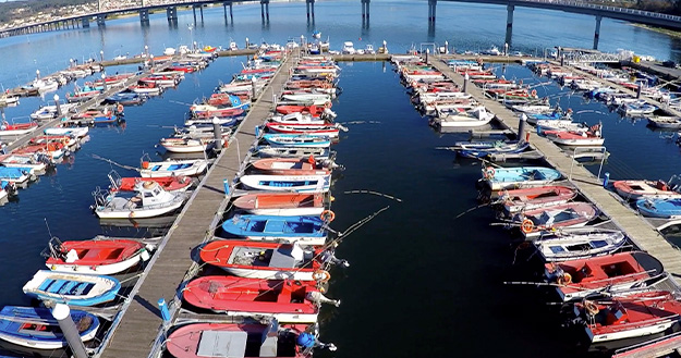
Monitoring and permanent control of water conditions and quality is of particular importance and affects economic environments that are fundamental to the Galician economy: fishing, shellfish harvesting and aquaculture, public health and tourism (quality of bathing waters, management of cyanobacteria proliferation in reservoirs), environment (effluent discharges), among others; this being especially important in sea waters, due to the very important socio-economic activity that it represents in our community.
Four departments of the Xunta de Galicia participate in this project, and is an example of interdepartmental coordination for the benefit of the public.

U.T.E. Indra, Adantia y Sixtema, Soluciones y Proyectos de Información.

Investigación y Proyectos Medio Ambiente (IPROMA), Seadrone/Acubens y Aimen Centro Tecnológico.

Consellería de Medio Ambiente, Territorio y Vivienda, Consellería de Infraestructuras y Movilidad y Consellería del Mar.

2.450.000 €

Instituto Tecnológico para el Control del Medio Marino (INTECMAR), Augas de Galicia y la Dirección General de Calidad Ambiental y Cambio Climático.
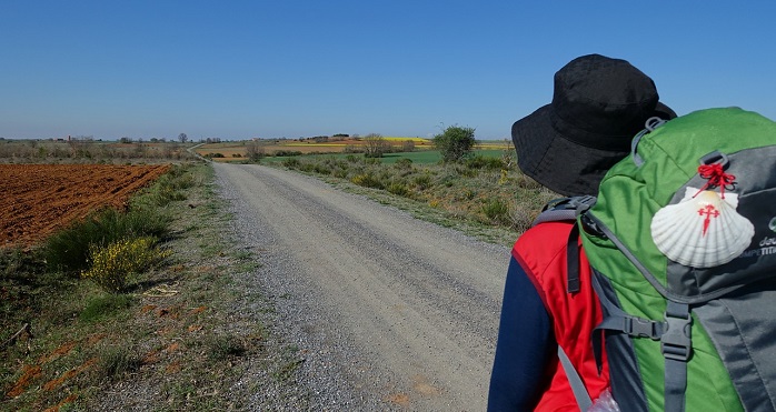
The need for this solution stems from the responsibility entrusted to the Xunta de Galicia’s health services to assist any type of health emergency that arises in the community. The use of unmanned vehicles will allow a rapid response to a very frequent time-dependent pathology, such as cardiac arrest (CA), in areas with difficult access.
This initiative makes Galicia a pioneer at national and European level, with a system that will enhance timely assistance to pilgrims suffering from cardiac arrest.
Babcock Mission Critical Services Fleet Management.
Universidad de Santiago de Compostela (Citius), Coremain, Fundación Centro Tecnológico de Telecomunicaciones de Galicia (Gradiant), Innovatec, Soldatec y Veoline.
Consellería de Sanidad y Consellería de Cultura y Turismo.
922.155,52 €
Dirección de Asistencia Sanitaria del Servizo Galego de Saúde (SERGAS) y 061 Galicia.
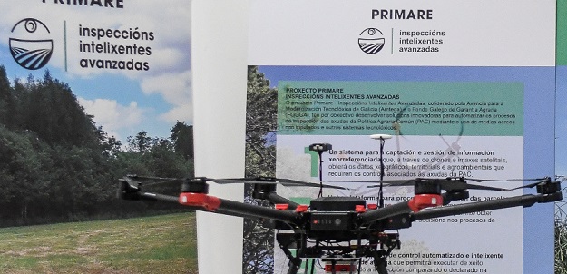
The first solution will permit the management of geo-referenced geographical, territorial and agro-environmental information required for the control of agricultural activity, by integrating data captured by sensors fitted on unmanned aerial vehicles and on other technological devices.
This system will capture quality images of agricultural plots for further processing, and crop management data such as ground height, crop height and moisture content.
Gradiant, Proyestegal, Seresco e Ingeniería Insitu.
Consellería do Medio Rural.
1.216.983,47 + IVA.
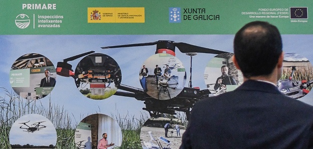
This project is designed to create an agricultural plots information processing platform, which will permit downloading of geographical data that identify plots, their topographical morphology, crops and other data obtained through sensors onboard UAVs and other devices.
All this information will be stored on a platform that can be usefully exploited both by the Administration and by agents from the primary sector. Based on these data, different applications will be developed aimed at improving and optimising production and digital tracking of plots and crops.

Gradiant, Proyestegal y Seresco.

Consellería de Medio Rural.

638.068,46 € + IVA
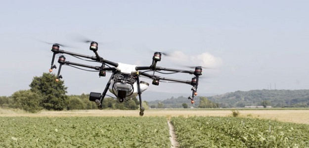
The aim of the three tenders published by AMTEGA within the framework of the Civil UAVs Initiative is to develop technologically innovative solutions to resolve a unique challenge: automatic inspection of aid provided under the Common Agricultural Policy (CAP).
More specifically, this third solution focuses on the design and implementation of an intelligent system to automate field work and decision-making linked to EU aid in Galicia.
Based on the information obtained with the above solutions, this system will help differentiate the types of agricultural plots and allow technicians to make decisions without always having to physically move to the plot.

Contract awarded to:
Gradiant, Proyestegal and Seresco.

Beneficiary body:
Consellería de Medio Rural.

Award amount:
861.166,63 € + VAT.

